NORTHERN CARIBBEAN
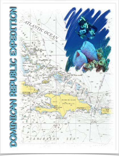
The Dominican Republic is a country located on the island of Hispaniola in the Greater Antilles archipelago of the Caribbean region. The Dominican Republic comprises the eastern two-thirds of Hispaniola, the second largest island in the Greater Antilles, with the Atlantic Ocean to the north and the Caribbean Sea to the south. Geologically, the Dominican Republic is part of the broader geology of Hispaniola with rocks formed from multiple island arcs, colliding with North America. Within the Dominican Republic, the central Cordillera Septentrional spans the strike-slip fault boundary between the North American and Caribbean plates. Faults and folds from the Paleocene to the Pliocene in marine sedimentary rocks indicate its history of uplift, beginning in Eocene pelagic carbonates.
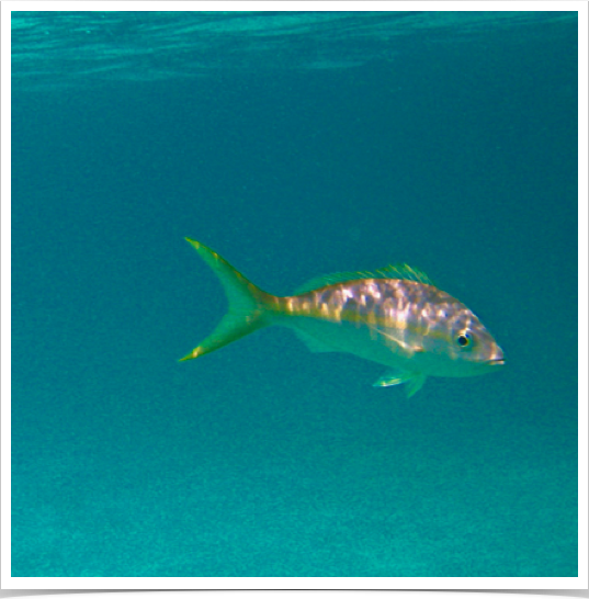
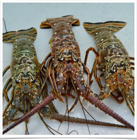
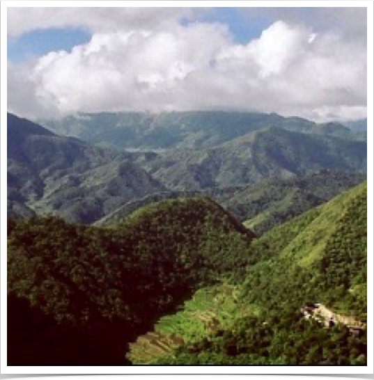
The Dominican Republic has a tropical rainforest climate in the coastal and lowland areas. Due to its diverse topography, Dominican Republic's climate shows considerable variation over short distances and is the most varied of all the Antilles. Dr. Alshuth explored the Dominican Republic’s marine environments and anthropogenic marine impacts along the northern shores. Increased development of the cities and deforestation of upland regions have resulted in increased urban and sediment runoffs into the bay, impacting the health of the coral reefs. Overfishing of the coral reefs during the 1980s has also contributed to a decline in ecosystem function.
Click on any picture below to start slide show.
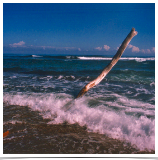
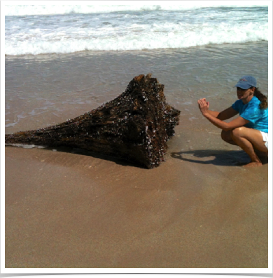
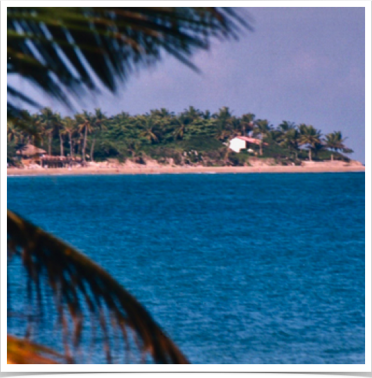
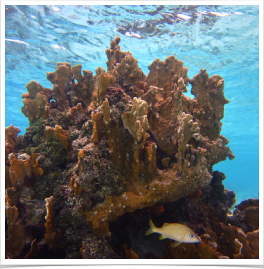
DOMINICAN REPUBLIC
Home / Your Professor / Biography / Research / Expeditions / Tropical Oceans & Seas Expeditions / Atlantic Expeditions / Dominican Republik
