CARIBBEAN SEA
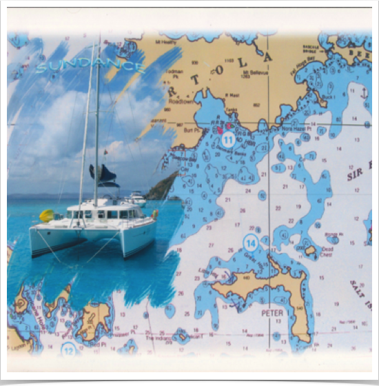
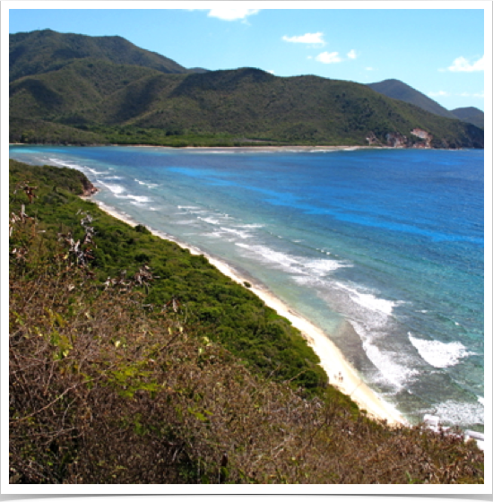
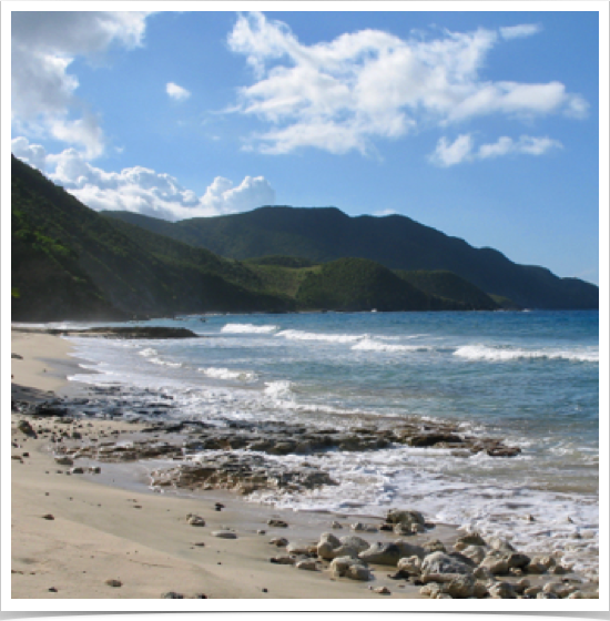
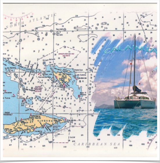
The Virgin Islands, located between 18.2° and 17.7° northern latitude - is an archipelago in the Caribbean Sea with tropical rainforest climate, moderated by trade winds. Geologically and biogeographically these islands are the easternmost part of the Greater Antilles - the northern islands belonging to the Puerto Rico Trench - located on the boundary of the North American plate and the Caribbean Plate. Volcanism accounts for much of the Virgin Islands. The islands fall into three different political jurisdictions incl. the British, US and Spanish Virgin Islands.
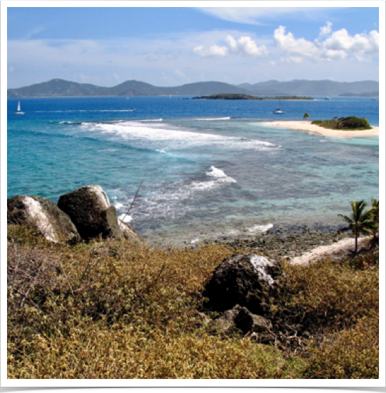
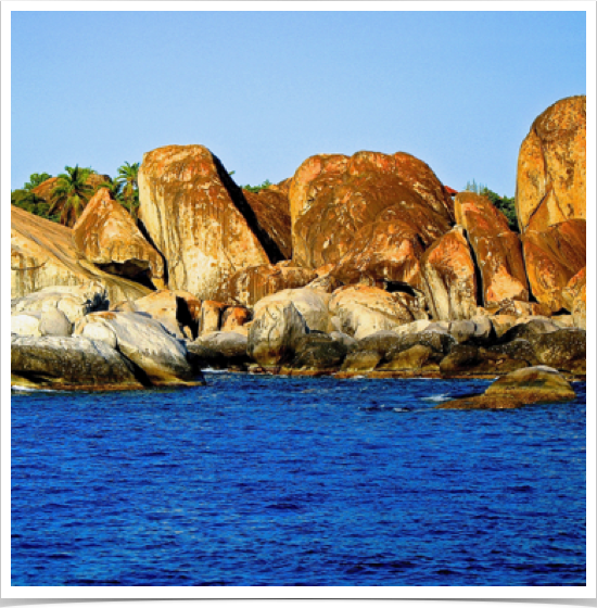
The British Virgin Islands comprise around 60 tropical Caribbean islands, among them the main islands of Tortola, Virgin Gorda, Anegada, and Jost Van Dyke. Most of the islands are volcanic in origin, though Anegada is geologically distinct from the rest of the group, being a flat island composed of limestone and coral.
The US Virgins are located in the Leeward Islands of the Lesser Antilles consisting of three main islands: St. Thomas, St. John, and St. Croix - as well as several dozen smaller islands. Though mostly volcanic in origin, the largest island St. Croix, lies to the south and has a flatter terrain due to being coral in origin.
The Spanish Virgins, or Passage Islands, are located west of the Virgin Passage - primarily consisting of the islands of Culebra and Vieques, located in the Caribbean.
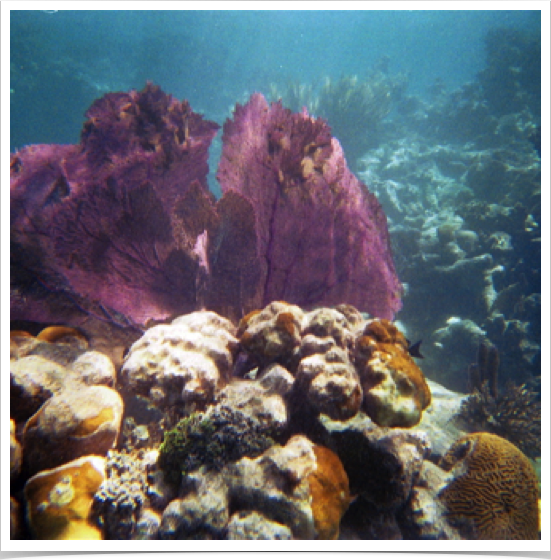
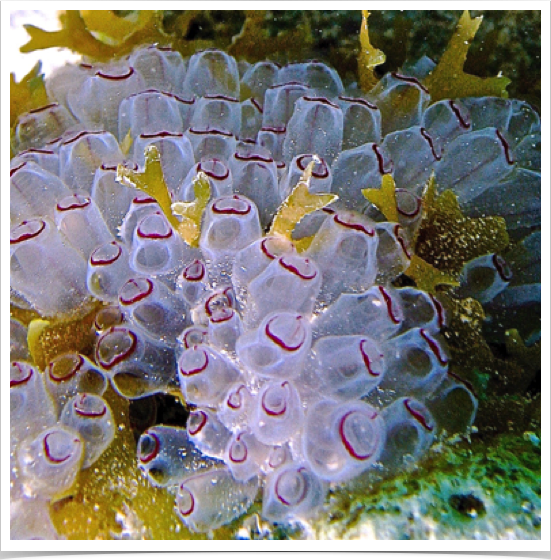
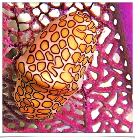
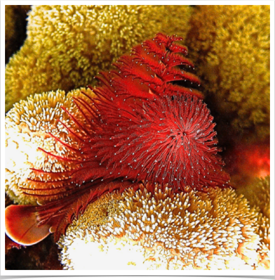
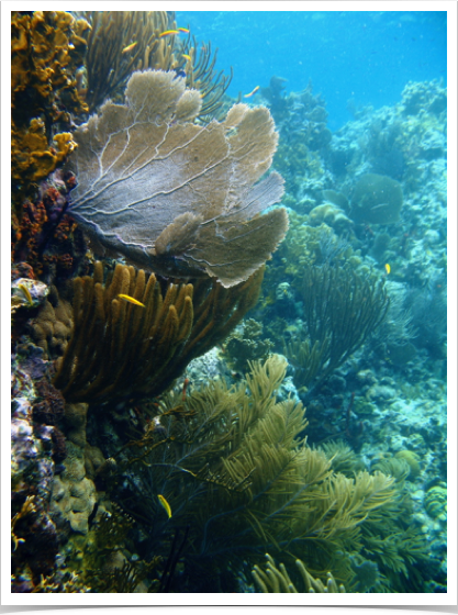
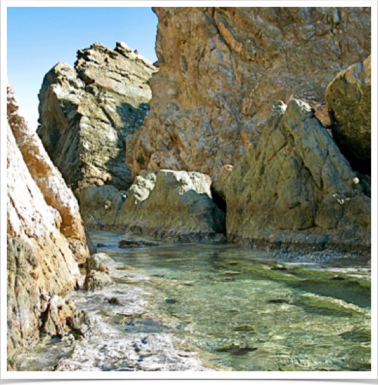
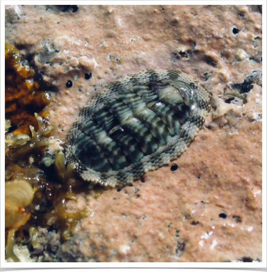
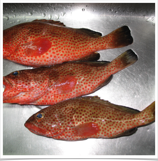
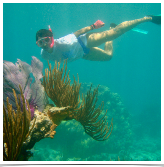
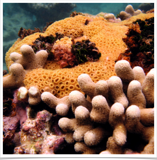
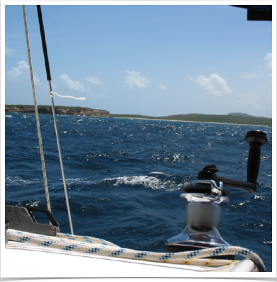
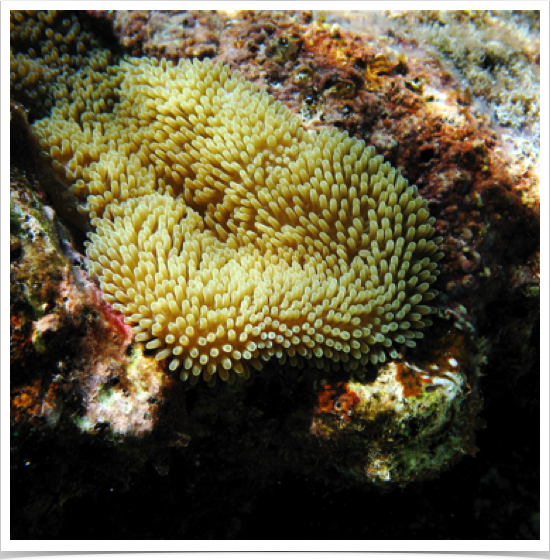
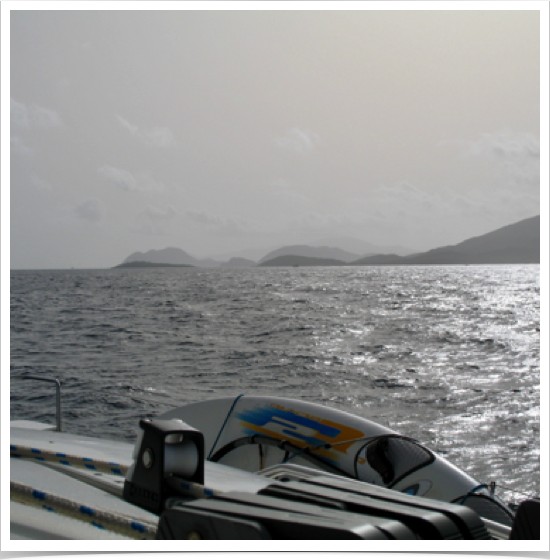
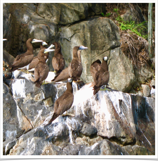
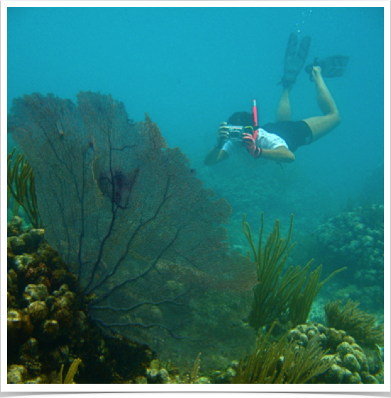
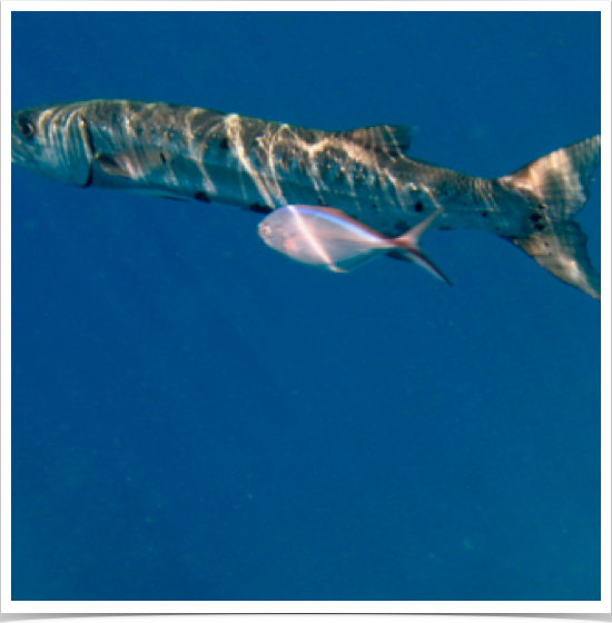
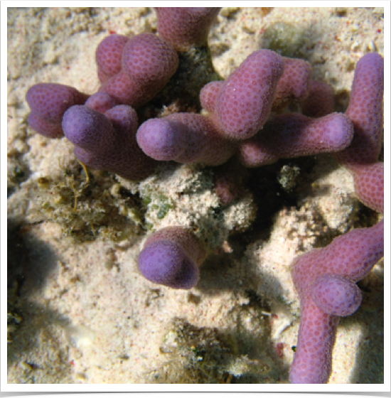
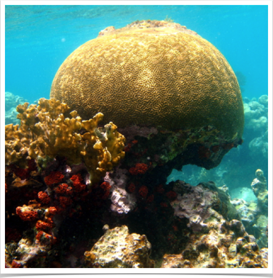
Sailing the blue waters of the Caribbean in 2006 and 2007, Dr. Alshuth and her husband explored the tropical marine ecosystems of the three Virgin Islands groups and their anthropogenic marine impacts - on numerous island expeditions.
Click on any picture below to start slide show.
VIRGIN ISLANDS ARCHIPELAGO
Home / Your Professor / Biography / Research / Expeditions / Tropical Oceans & Seas Expeditions / Atlantic Expeditions / Virgin Islands
